Given the need for lower cost implementation and maintenance, a new technology emerged,more efficient, not only economically but also from the quality point of view.
UAVs can be seen as a supplement or a replacement for terrestrial photogrammetry and related areas such as a topography.
Compared to other technologies, the UAV provides large coverage in a short time and a range of precision distributed between a few inches and a couple of meters, depending on the desired end product
Orthophotos
Orthophotos are aerial photos that have been geometrically corrected such that the scale is uniform, having each pixel an associated geographic coordinate. Orthophotos have the same lack of distortion as maps, so they are an accurate representation of the Earth’s surface that can be used to measure distances.
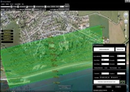
Using photogrammetric software we can rectify the aerial images acquired with our UAV systems and merge them in order to create image mosaics of the desired area of interest.

Using calibrated digital cameras we can obtain high resolution orthophotos with lower cost and higher flexibility than conventional aerial systems such as manned aircraft or satellites. One of the main features is the high repeatability, being able to perform multiple flights in the same place without a substantial increase in the total cost. Thanks to this orthophotos can be used in a huge range of applications
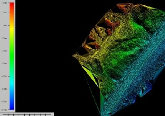
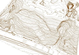
Topographic surveys
We provide highly-detailed digital elevation models with high-resolution photography to enable improved decision making. In a sector where safety, quality and cost are key factors, you can be sure that Aerial Technics will deliver
Whether you need construction progress photography, stockpile volumes or a topographic survey we can provide a cost-effective solution for major construction projects, infrastructure projects, quarries, mines and landfill sites. All using our UAV platforms.
Volumetric surveys
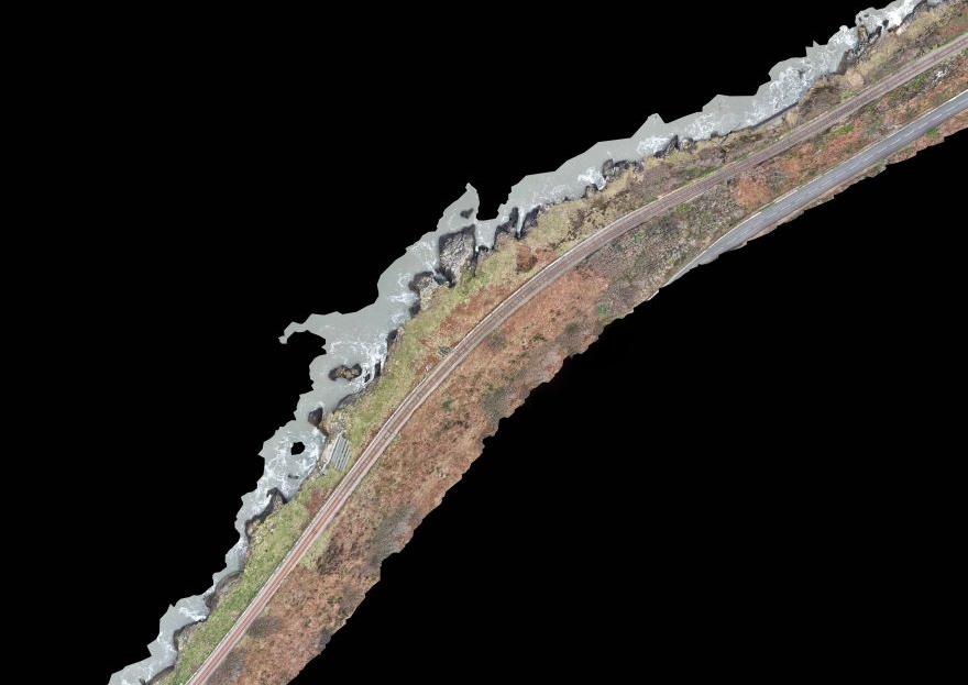
Flood risk surveys
Site design