Here at Aerial Technics we offer a cost effective alternative to conventional methods used in aerial photography, video and terrestrial surveys.
The capabilities provided when using a UAV in any instance can be almost limitless.
Photographic data can be gathered safely from areas that were previously regarded as dangerous or inaccessible, without the risk of accident to ground crews.
Our advantages being: short execution time, high level of detail, lower costs, high temporal, spatial and radiometric resolution.
We operate safely within our permissions from the CAA (civil aviation authority).
How It Started
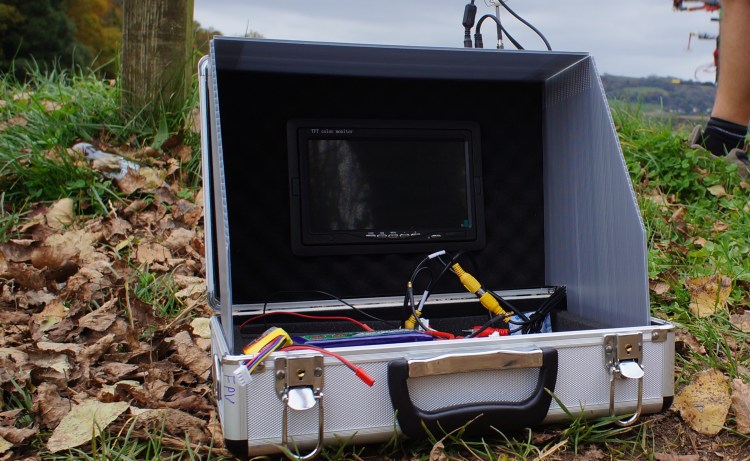
It Started in 2009 (Before DJI) When two Friends got together for a bit of fun and started to build drones, with No Cameras No flight stabilisation No GPS, just four motors and a dogy Flight controller.
After a few years of development, flight stabilisation was added then GPS, this made things a lot safer to add a camera.
How the Business Started
It was 2013 when we heard locally to us that there was a Landslide over a railway line.
So off we went with our homemade drones, and took some pictures.
Whilst filming we were approached by staff from Network Rail, who were interested in our Photography and filming
We were there Every day for a year.
And Still doing it to this day.


This Brings us to now
Long gone of the days when we were in our workshops soldering drones together. As a business we have developed and grown, Not now do we just fly drones we do Time-lapses Camera surveillance, Promotional Videos, Photogrammetry, and a whole lot more.
Aerial Technics
